
Why Hakone Is One of Japan's Best Hiking Destinations
Hakone sits within the dramatic caldera of an ancient volcano, just 80 kilometers southwest of Tokyo. This geological history has gifted the region with a remarkably diverse landscape — steaming volcanic valleys, serene crater lakes, dense cedar forests, and ridgeline trails with panoramic views of Mount Fuji. For hikers, this means an extraordinary variety of terrain compressed into a compact area that can be explored in a single day trip or a leisurely multi-day stay.
Unlike many mountain destinations in Japan that require hours of travel, Hakone is accessible from central Tokyo in under 90 minutes. The combination of world-class trails, hot spring villages for post-hike recovery, and easy transport links makes Hakone hikes an essential experience for anyone visiting the Kanto region in 2026.
-

-
Hakone: The Ultimate Travel Guide for 2026 — Hot Springs, Mt. Fuji Views & Scenic Drives
Why Hakone Should Be on Every Japan Traveler's List Hakone is one of the most beloved destinations n ...
続きを見る
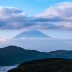
Best Hakone Hikes: A Complete Trail-by-Trail Guide
Old Tokaido Highway Trail (Hakone Hachiri)
The Old Tokaido Highway is Hakone's most historically significant trail and one of its most popular hikes. This ancient route was part of the Edo-era highway connecting Tokyo (then Edo) to Kyoto, and sections of the original cobblestone path — laid over 400 years ago — remain intact and remarkably well-preserved.
The most commonly hiked section runs from Hakone-Yumoto to Moto-Hakone along Lake Ashi, covering approximately 10 kilometers. The trail passes through towering cryptomeria cedar avenues (sugi-namiki), mossy stone pavements, and the reconstructed Hakone Checkpoint (Hakone Sekisho). Expect the hike to take 3 to 4 hours at a moderate pace, with a cumulative elevation gain of around 500 meters. The difficulty is moderate — manageable for most reasonably fit hikers, though the stone steps can be slippery in wet weather.
- Distance: ~10 km (Hakone-Yumoto to Moto-Hakone)
- Time: 3–4 hours
- Difficulty: Moderate
- Highlight: Edo-era cobblestones and cedar avenues
Kintoki-yama (Mount Kintoki) Hike
Mount Kintoki (1,212 meters) is the highest peak in the Hakone outer rim and arguably the best summit hike in the entire region. On clear days, the panoramic view of Mount Fuji from the top is breathtaking — many consider it one of the finest Fuji viewpoints accessible without technical climbing.
The most popular trailhead is at Kintoki Tozanguchi, accessible by bus from Hakone or Gotemba. The ascent takes approximately 1.5 to 2 hours via a well-marked trail through mixed forest. The final section includes some steep rocky scrambles and chain-assisted passages, adding a sense of adventure without requiring any special equipment. A mountain hut at the summit sells snacks and drinks. The round trip typically takes 3 to 4 hours.
- Distance: ~5 km round trip
- Time: 3–4 hours
- Difficulty: Moderate to challenging
- Highlight: Unobstructed Mount Fuji views from the summit
-
-
Mount Hakone: Complete Guide to Hiking, Hot Springs & Volcanic Landscapes in 2026
What Is Mount Hakone? Mount Hakone (箱根山, Hakone-yama) is not a single peak but rather a volcanic com ...
続きを見る
Komagatake Ridge Trail
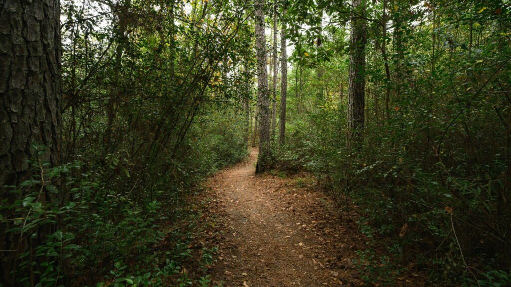
Mount Komagatake (1,356 meters) is the highest point within the Hakone caldera itself. While many visitors take the Komagatake Ropeway from Hakone-en to the summit, hikers can tackle the trail on foot for a more rewarding experience. The trail begins near Hakone-en and follows a forested ridge to the top, where the Hakone Mototsumiya Shrine stands with sweeping views of Lake Ashi, Owakudani, and Mount Fuji.
The hiking route is steeper and less traveled than the Old Tokaido or Kintoki trails, making it a good choice for those seeking a quieter experience. The ascent takes about 2 hours, and many hikers choose to descend via the ropeway. The summit area is relatively open and exposed to wind, so layering is recommended even in warmer months.
- Distance: ~4 km (one way from Hakone-en)
- Time: 2 hours up, 1.5 hours down (or ropeway descent)
- Difficulty: Moderate to challenging
- Highlight: Lake Ashi views and mountaintop shrine
Sengoku-hara Susuki (Pampas Grass) Plateau Walk
For a gentler Hakone hike, the Sengokuhara Plateau offers a flat, easy stroll through one of Japan's most famous pampas grass (susuki) fields. This hike is at its most spectacular in late September through November, when the silver-gold pampas grass waves across the highland meadows against the backdrop of Hakone's volcanic mountains.
The boardwalk trail through the main susuki field takes only about 30 minutes, but the surrounding Sengoku area has additional walking paths that can extend the experience to 1–2 hours. This is an ideal option for families, elderly visitors, or anyone looking for a relaxing nature walk rather than a strenuous climb.
- Distance: 1–3 km
- Time: 30 minutes to 2 hours
- Difficulty: Easy
- Highlight: Golden pampas grass fields in autumn
Hakone Old Mountain Road to Owakudani
This lesser-known trail connects the Ubako area to Owakudani, Hakone's famous volcanic valley. The path weaves through dense forest before emerging at the sulfurous, steam-venting landscape of Owakudani. The contrast between the quiet woodland and the dramatic, almost lunar volcanic terrain is striking.
The hike from Ubako to Owakudani takes about 1 to 1.5 hours. Note that access to certain areas near Owakudani may be restricted depending on volcanic activity levels, so always check the latest advisories before setting out. After arriving at Owakudani, you can sample the famous black eggs (kuro-tamago) — eggs boiled in the sulfuric hot springs said to add seven years to your life.
- Distance: ~3 km
- Time: 1–1.5 hours
- Difficulty: Easy to moderate
- Highlight: Volcanic landscape and black eggs at Owakudani
-
-
Owakudani Hakone: Complete Guide to the Volcanic Valley, Black Eggs & Stunning Views in 2026
What Is Owakudani in Hakone? Owakudani — literally translated as "Great Boiling Valley" — is one of ...
続きを見る
Lake Ashi Lakeshore Path
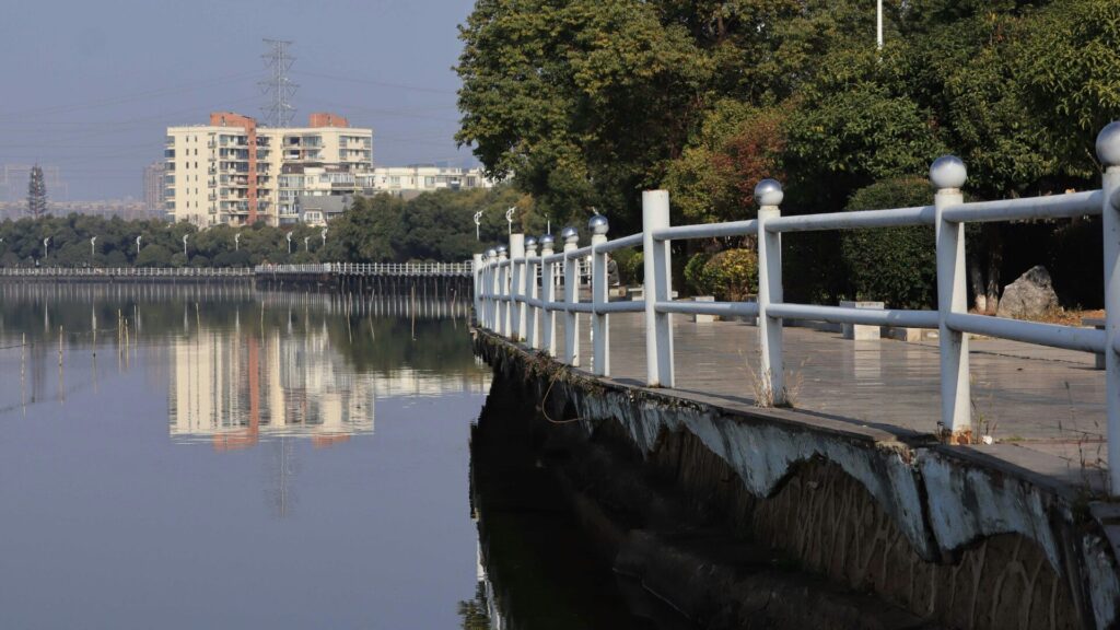
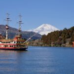
The lakeshore walking path along Lake Ashi provides a scenic, low-intensity hike suitable for all ages. The route between Moto-Hakone and Hakone-machi follows the waterfront, passing the iconic red torii gate of Hakone Shrine that appears to float on the lake's surface. On clear days, Mount Fuji is perfectly reflected in the calm waters.
This walk connects naturally with the Old Tokaido Highway trail for those wanting a longer route, or it can serve as a standalone stroll of about 30 to 45 minutes. The relatively flat terrain and proximity to restaurants, cafes, and the sightseeing cruise pier make it an ideal option for combining hiking with other Hakone activities.
- Distance: ~2 km
- Time: 30–45 minutes
- Difficulty: Easy
- Highlight: Hakone Shrine torii gate and lake reflections
-
-
Lake Ashi Hakone: Complete Guide to Sightseeing, Cruises & Views in 2026
What Is Lake Ashi in Hakone? Lake Ashi — known as Ashinoko (芦ノ湖) in Japanese — is a scenic crater la ...
続きを見る
Best Season for Hakone Hikes
Hakone can be hiked year-round, but each season offers a distinctly different experience:
- Spring (April–May): Cherry blossoms in the lower elevations give way to fresh green foliage higher up. Temperatures are comfortable, and trails are generally dry. Late April to mid-May is widely considered one of the best windows for Hakone hiking.
- Summer (June–August): June brings the rainy season (tsuyu), with frequent downpours and humid conditions that make trails slippery. July and August are hot and humid at lower elevations but more pleasant on summit trails like Kintoki-yama.
- Autumn (September–November): The premier hiking season. October and November deliver stunning autumn foliage across all elevations, and the pampas grass at Sengokuhara peaks in October. The air is clear, maximizing your chances of Mount Fuji views.
- Winter (December–March): Higher trails may see snow and ice, particularly on Kintoki-yama and Komagatake. Lower trails like the Old Tokaido remain accessible. Winter offers the clearest Fuji views but the shortest daylight hours.
Essential Tips for Hiking in Hakone
What to Bring
- Footwear: Sturdy hiking shoes or trail runners with good grip. The Old Tokaido cobblestones and Kintoki-yama rock sections demand reliable traction.
- Water and snacks: While vending machines and mountain huts exist on some routes, carry at least 1 liter of water and energy-dense snacks.
- Rain gear: Hakone receives significantly more rainfall than Tokyo. A lightweight waterproof jacket is essential year-round.
- Layers: Summit temperatures can be 5–10°C cooler than the base. Wind on exposed ridges amplifies the chill.
- Bear bell: While encounters are rare, bears do inhabit the Hakone mountains. A bell or noise-making device is a sensible precaution on quieter trails.
Trail Etiquette and Safety
Japanese hiking culture places high value on courtesy and environmental respect. Carry all rubbish out with you — trailside bins are virtually nonexistent. Greet fellow hikers with a friendly "konnichiwa." Stay on marked trails to protect fragile volcanic vegetation. Check the Hakone Geopark and local tourism office websites for real-time trail closures, especially near Owakudani where volcanic gas levels can force temporary closures.
Getting to the Trailheads
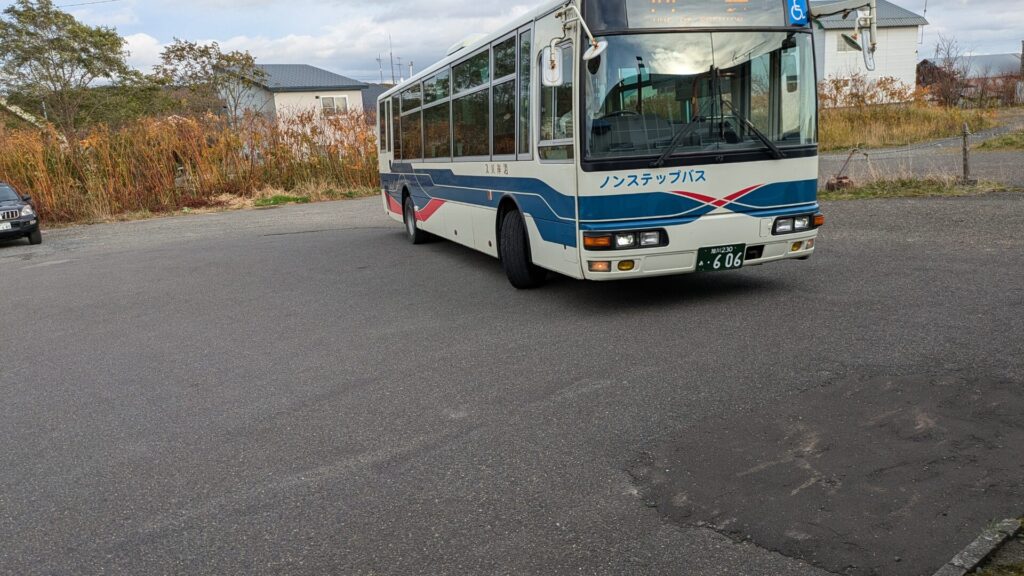
Most Hakone trailheads are accessible via the Hakone Tozan Bus network, which connects to Hakone-Yumoto Station — the main gateway from Tokyo. The Hakone Free Pass is an excellent investment for hikers, as it covers unlimited use of most buses, the cable car, ropeway, and sightseeing cruise within the Hakone zone. From Hakone-Yumoto, buses run to Sengokuhara, Moto-Hakone, and the Kintoki-yama trailhead.
For hikers who want maximum flexibility — especially for reaching trailheads that are less served by public transport, or for combining multiple hikes in a single day — driving to Hakone offers significant advantages. The Hakone Turnpike and Ashinoko Skyline are scenic driving roads that connect various parts of the region and provide trailhead parking.
-

-
Rent a Car Tokyo to Hakone Onsen: Complete Driving Guide for Visitors
Why Drive from Tokyo to Hakone Onsen? Renting a car gives you door‑to‑door access to hot spring town ...
続きを見る
Combining Hakone Hikes with Hot Springs
One of the greatest pleasures of hiking in Hakone is soaking in an onsen afterward. The region is one of Japan's most famous hot spring areas, with dozens of ryokan and public bathhouses scattered across towns like Hakone-Yumoto, Gora, and Miyanoshita. Many facilities welcome day visitors (higaeri onsen), meaning you can hike in the morning and spend the afternoon relaxing in naturally heated mineral waters.
The therapeutic benefits of Hakone's sulfur, alkaline, and sodium-chloride springs are particularly welcome after a demanding climb like Kintoki-yama or Komagatake. For the ultimate post-hike experience, book a ryokan with a private open-air bath (rotenburo) overlooking Hakone's forested valleys — it is a quintessentially Japanese way to end a day on the trails.
Recommended Hakone Hike Itineraries
Half-Day Easy Itinerary
Start with the Lake Ashi lakeshore path in the morning, visit Hakone Shrine, then take the sightseeing cruise to Togendai. Walk the Sengokuhara susuki fields in the afternoon (autumn only). Total hiking time: approximately 1.5 hours.
Full-Day Moderate Itinerary
Begin at Hakone-Yumoto and hike the Old Tokaido Highway to Moto-Hakone (3–4 hours). Have lunch at a lakeside restaurant. In the afternoon, take the bus to Owakudani or ride the ropeway. Finish with an onsen soak in Hakone-Yumoto before returning to Tokyo.
Full-Day Challenge Itinerary
Take an early bus to the Kintoki-yama trailhead and summit Mount Kintoki (3–4 hours round trip). Descend and bus to Hakone-en, then hike up Komagatake (2 hours) and descend via the ropeway. End the day with a well-earned onsen in Gora or Hakone-Yumoto.
Hakone Hikes vs. Other Day-Trip Hikes from Tokyo
How do Hakone hikes compare to other popular hiking destinations within day-trip distance of Tokyo? Mount Takao offers easy access and beginner trails but lacks Hakone's volcanic drama and hot spring infrastructure. Mount Nokogiri on the Boso Peninsula provides quarry scenery and ocean views but fewer trail options. Mount Fuji itself is a bucket-list climb but is only open in summer and demands a full day or overnight commitment.
Hakone strikes an ideal balance: diverse trails for all fitness levels, volcanic and lakeside scenery, Mount Fuji views, world-class onsen, and excellent transport links. It is arguably the most complete hiking destination within easy reach of Tokyo for visitors in 2026.
Experience Japan’s Finest JDM Adventures

From Daikoku PA tours to JDM sports car rentals and drift experiences, we offer premium driving adventures for visitors who want more than ordinary sightseeing.
Get behind the wheel of iconic machines such as the GT-R, RX-7, and Supra, and experience Japan’s legendary car culture in the most unforgettable way. Whether you want a scenic Tokyo car experience or something more thrilling and immersive, we can guide you to the right plan.
Not sure which experience suits you best? No problem. Message us on WhatsApp and we’ll help you choose the ideal option based on your travel plans, interests, and driving experience.
Popular dates sell out quickly, so we recommend contacting us early.
Customer Reviews

Important Information
- This is a drive tour where you drive your rental car, and our guide navigates from the seat.
- This is a self-drive tour where you drive your rental car, and our guide navigates from the passenger seat.
- The tour begins and ends at the same location (Shibuya).
- If the Daikoku Parking Area is closed, we will instead guide you to another car meet further away.
- The consultant is a cultural expert and navigator, not a taxi service.
